|
|
Post by intrepidcamper on Jul 2, 2005 21:25:08 GMT -5
I am wondering what the Darky River route is like between Darky Lake and Brent Lake? Is it paddleable with short portages, or must one take the long portage shown on the maps? I am hoping to do a Minn Lake to Darky to Brent and investigate William, Conmee, Suzanette, Burt and Joyce; don't know which way I am coming out. Dates will be Sept 8-18+. Any advice would be appreciated....IC
|
|
|
|
Post by Stonehollow on Jul 3, 2005 6:38:29 GMT -5
|
|
|
|
Post by Jimbo on Jul 3, 2005 12:14:15 GMT -5
IC, It was one long portage 16 years ago, too, in late August. Good fishing on the Darky end, though. Jimbo  |
|
|
|
Post by intrepidcamper on Jul 3, 2005 20:33:56 GMT -5
Hmmm...think I'll go back to the map. I believe there are other ways to get over to ... just looked at the map and guess NOT! So how is the portage otherwise, besides long? The map I just looked at says 182 rods?  |
|
|
|
Post by Stonehollow on Jul 4, 2005 12:56:09 GMT -5
What I remember is that it was hilly and passed close to the river often. One part was on a fairly steep slope (side to side) with treacherous footing. Of course, I may be remembering some other portage! We met a group going the other way (air-dropped in from the NW, heading towards Prairie Portage for pickup). The last half was pretty easy, at least from east to west. I remember this portage because they were admiring our canoe and offered to help carry on the "empty" leg of their double portage. Then they noticed we were already loaded up for our single portage. I thought we were carrying heavy (42# canoe + 30# pack, bowman had 50# pack), but it was nothing compared to their load! This was our route for that day (pretty short, with just the two portages).  |
|
|
|
Post by qp on Jul 4, 2005 17:35:20 GMT -5
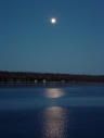
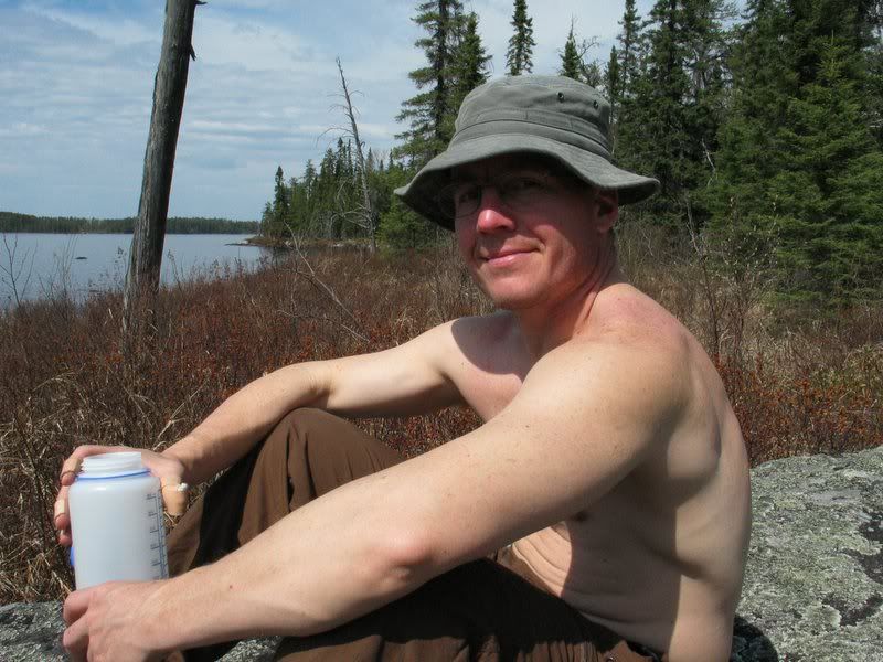
Ok I finally had a little time to do some digging. Here's a couple photo's of the Brent to Darky portage. As I recall it is down hill to Darky Lake. Nice wide path along the rivers edge. However these photos were taken in 1994.   Since your distance that day is short. I would also suggest that you look at the campsite on the large island on the northeast side. PREMO SITE! We missed the opt to camp there as it was taken but it's a very nice site. I'll tell you this though fish Brent Lake as your paddling it you wont be disappointed!  qp |
|
|
|
Post by intrepidcamper on Jul 5, 2005 9:07:30 GMT -5
Nice pics QP, thanks! Is that Premo campsite in Darky or in Brent? I am going west to east. Maybe doing it in August, will see today if I can change plans on my camp-mate Jeanne (the rock pile artist). This will involve leaving her husband Dave at home, which he may not think is a good idea. He just had hip surgery last winter tho, and is finding a longish walk in the woods to be hard on his new hip.
Can't say how much I like this being able to preview a trip route with all the board's help with tips! IC
|
|
HoHo
Wet Footer

Posts: 136
|
Post by HoHo on Jul 12, 2005 7:02:40 GMT -5
Hey, IC, we took this portage last year, it's described in Day 5 of my Pictorial Trip Report here (takes a while to load with all the pictures). I don't think the portage is too bad, other than length. The only hard part is near the beginning coming from Darky going to Brent, where the old trail has been flooded by a beaver pond and the new "trail" is loose dirt traversing the hillside above. You could easily skip this part by paddling the beaver pond. In fact, if you really don't want to do a long portage, you could paddle several of the ponds along the way. It would take longer than just portaging through, with the need to load and unload several times, but if you would reroute your trip otherwise then you should puddle jump. Beymer mentions this is an option in his old Paddler's Guide to Quetico. A benefit of paddling the little ponds is that you would see more. If you budget some time you will easily get across and enjoy Brent. |
|